𝐈𝐧𝐭𝐞𝐫𝐨𝐩𝐞𝐫𝐚𝐛𝐢𝐥𝐢𝐭𝐲 𝐃𝐫𝐢𝐯𝐞𝐬 𝐭𝐡𝐞 𝐟𝐮𝐭𝐮𝐫𝐞 𝐨𝐟 𝐉𝐨𝐢𝐧𝐭 𝐆𝐄𝐎𝐈𝐍𝐓 𝐎𝐩𝐞𝐫𝐚𝐭𝐢𝐨𝐧𝐬

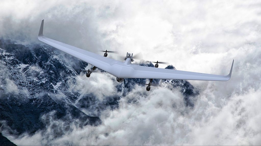
A new Bayraktar VTOL drone was introduced
January 5, 2022
How GIS Supports Countering Terrorism
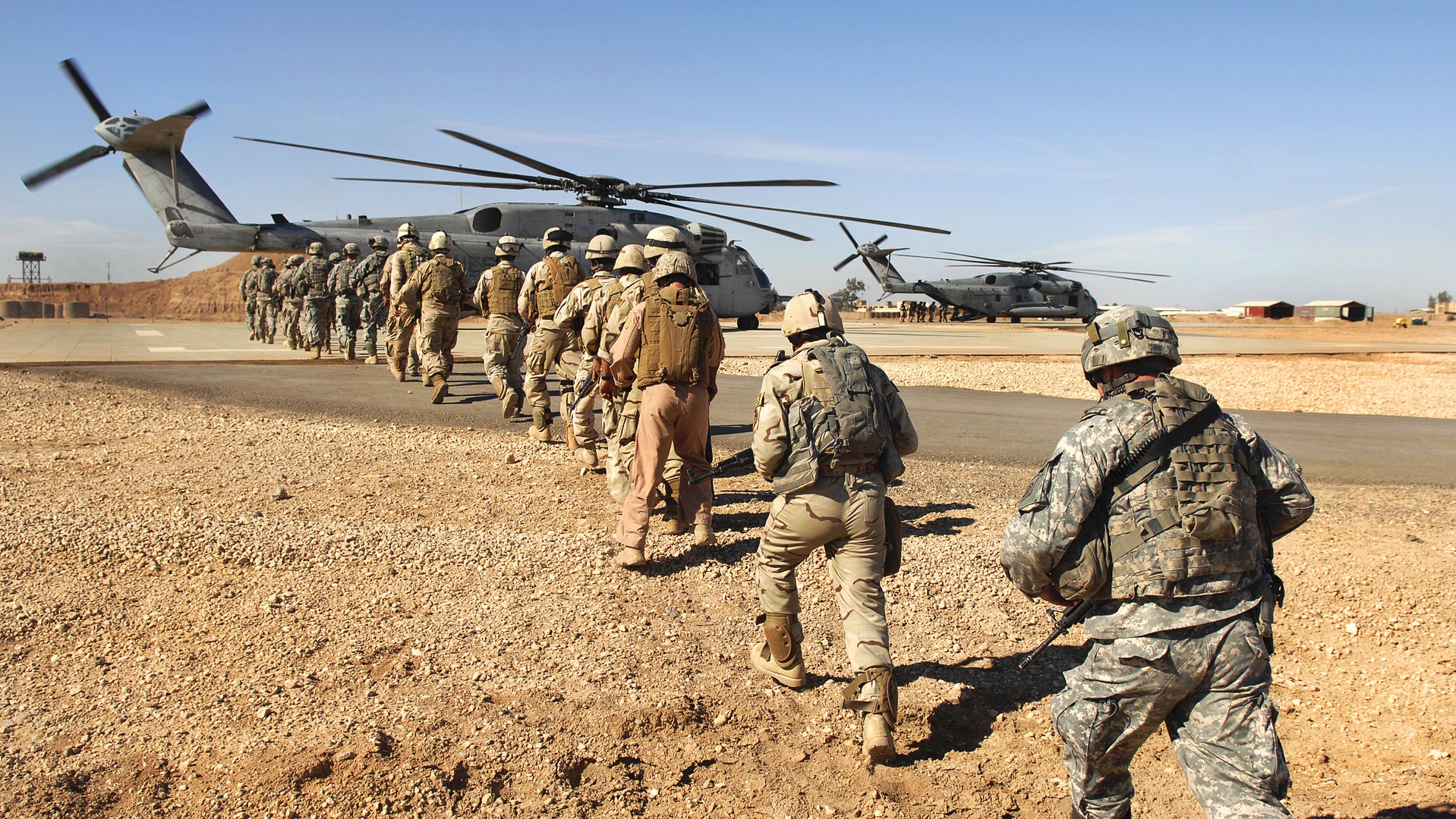
March 13, 2022GEOINT provides a common foundation for supporting joint operations to better enable mission accomplishment across the range of military operations.
GEOINT supports joint operations through the multidirectional flow and integration of geospatially referenced data from relevant GEOINT and other sources of intelligence and information to achieve a shared awareness of the OE, near real time (NRT) tracking, and collaboration between forces. GEOINT provides a context of space and time regarding the OE, contributing to knowledge about capabilities, trends, and patterns for operational awareness and decision making.
Foundation GEOINT, in the form of features, elevation, controlled imagery base, geodetic sciences, geographic names and boundaries, aeronautical, maritime, digital point positioning database (DPPDB), and human geography, provides the basic framework for visualizing the joint common operational picture (COP). It is information produced by multiple sources and is streamed and stored using validated Department of Defense Information Technology Standards Registry (DISR) interoperable data standards. GEOINT online on-demand services include tools that enable users to access and manipulate data and provide instruction, training, laboratory support, weapon systems analysis, and guidance for the use of geospatial data.
GEOINT activities support joint operations through the delivery off inished analytical products.
The GEOINT operations process consists of interrelated and specific GEOINT activities and procedures to conduct GEOINT in support of joint operations. These activities are continuous and may be performed independently; in conjunction with one another; or integrated as a component of other intelligence disciplines or operational procedures that require information fusion, visualization, analysis, and sharing. Optimization of GEOINT production to support operations is facilitated by unified geospatial-intelligence operations (UGO), which is the collaborative and coordinated process to assess, align, and execute GEOINT across the NSG and its partner organizations.
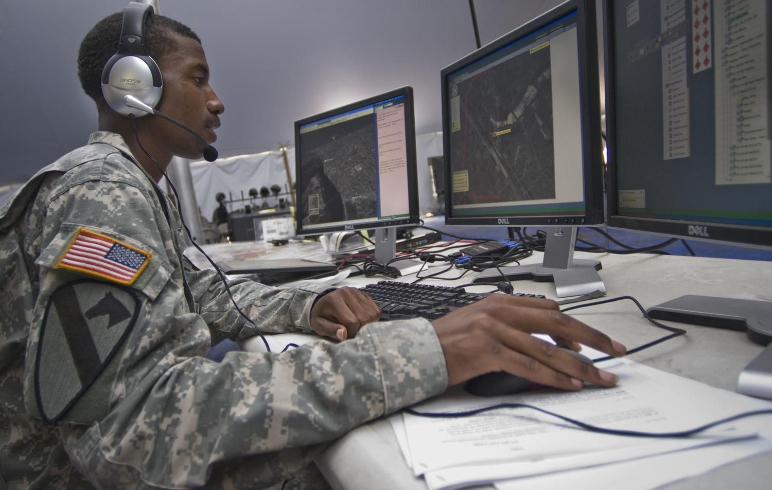
Joint force commanders (JFCs) should consider establishing a GEOINT cell to manage GEOINT activities under the joint force’s command structure. The JFC can request the establishment of this cell, which typically includes both NGA civilian and military personnel, with representation from Service GEOINT organizations. NGA will frequently deploy a forward element with reachback connectivity to NGA analysts and data repositories in support of a crisis response operation. Execution of the GEOINT support mission is conducted by personnel in theater and supported with continental United States (CONUS)- based elements in a reachback capacity. Requests to establish this cell are initiated by contacting the National Geospatial-Intelligence Agency Operation Center (NOC) and the NGA Director of Operations, Office of Expeditionary Operations via the combatant command (CCMD) National Geospatial-Intelligence Agency support team (NST). Early coordination with NGA and other GEOINT producers is essential. The GEOINT cell interacts directly with customers and the NSG to obtain and provide the highest quality GEOINT support in response to validated mission requirements.
"The want of accurate maps of the Country which has hitherto been the Scene of War, has been a great disadvantage to me. I have in vain endeavored to procure them and have been obliged to make shift with such sketches as I could trace from my own Observations..."
General George Washington
There are five general categories of GEOINT support to joint operations:
(1) General Military Intelligence and Warning Intelligence. As one component of general military intelligence and warning intelligence, GEOINT supports monitoring scientific and technological developments and capabilities of foreign military forces for long- term planning purposes and for detecting and reporting foreign developments that could involve a threat to US and partner nations’ military, diplomatic, or economic interests or to US citizens abroad. Additionally, GEOINT supports situational awareness (SA) by providing warning of possible increased threats or a significant increase in the tactical positioning of adversary assets.
(2) Safety of Navigation. Using bathymetric, hydrographic, maritime safety, gravimetric, aeronautical, atmospheric, and topographic information for sea, air, and land navigation. The Global Positioning System (GPS) is the primary source of positioning, navigation, and timing information.
(3) OE Awareness. Visualizing the OE via change detection; tracking movements of interest; and monitoring land installations, support facilities, airfield site selection suitability, and port activity. GEOINT is a key component supporting joint intelligence preparation of the operational environment (JIPOE) and provides the geospatial foundation to visualize all sources of intelligence and operational data within a COP.
(4) Mission Planning, Rehearsal, and Command and Control (C2). Employing GEOINT content to plan, rehearse, and execute missions; evaluate mission progress; adjust schedules; and assign and apportion forces, as appropriate. GEOINT can be used to create realistic, interactive scenarios that accurately depict the operational area in three dimensions and across time. The simulated air, land, or maritime environment prepares personnel for factors they may encounter in the planning and execution of missions.
(5) Support to Targeting. Targeting support consists of the development of target materials through basic, intermediate, and advanced target development; IC target vetting; collateral damage estimation; and battle damage assessment. NGA provides geospatial accuracy assurance through its accreditation, certification, geopositioning tools validation, Modernized Integrated Database/National Production Workshop quality review, and testing and evaluation programs. NGA also performs numerous photogrammetric processes to generate targeting foundation products.

